| Spanggur Tso | |
|---|---|
| Mandong Tso | |
| Location | Rutog County, Tibet Autonomous Region, China |
| Coordinates | 33°32′11″N 78°54′32″E / 33.53639°N 78.90889°E |
| Type | Soda lake |
| Max. length | 20.9 km (13.0 mi) |
| Max. width | Max 4.5 km (2.8 mi) average 2.95 km (1.83 mi) |
| Surface area | 61.6 km2 (23.8 sq mi) |
| Surface elevation | 4,305 metres (14,124 ft) |
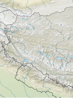
Spanggur Tso, also called Maindong Tso, Mendong Tso, is a saltwater lake in Rutog County in the Tibet Autonomous Region of China, close to the border with Ladakh. India claims a major portion of the lake as its own territory, as part of Ladakh. To the west of the lake lies the Spanggur Gap, a low pass through which the Line of Actual Control runs. To the north is the much larger lake Pangong Tso. Spanggur Tso is at an elevation of 4,305 meters and has an area of 61.6 square kilometres. The lake's average annual temperature is around -4 to -2 °C, and the annual precipitation is 50 to 75 mm. The western portion of the lake is claimed by India.

