| Spruce River Little Red River | |
|---|---|
 North Saskatchewan River drainage basin | |
| Location | |
| Country | |
| Provinces | |
| Physical characteristics | |
| Source | Waskesiu Hills |
| • location | Prince Albert National Park |
| • coordinates | 53°47′23″N 106°23′42″W / 53.7896°N 106.3951°W |
| Mouth | North Saskatchewan River |
• location | Prince Albert |
• coordinates | 53°13′06″N 105°42′45″W / 53.2184°N 105.7125°W |
• elevation | 415 m (1,362 ft) |
| Basin size | 1,668 km2 (644 sq mi) |
| Basin features | |
| Tributaries | |
| • left |
|
| • right |
|
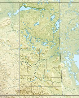
Spruce River,[1] also called Little Red River, is a river in the north-central region of the Canadian province of Saskatchewan. It begins in the Waskesiu Hills[2] in Prince Albert National Park and flows generally in a southward direction through boreal forests, glacier-carved hills and valleys,[3] muskeg, and prairie en route to the North Saskatchewan River[4] at the east end of the city of Prince Albert.
Several lakes with recreational amenities such as Namekus, McPhee, Anglin, Emma, Christopher, and Halkett are within its watershed. Anglin Lake was created by the building of Spruce River Dam along the river's course.
- ^ "Spruce River". Canadian Geographical Names Database. Government of Canada. Retrieved 3 September 2022.
- ^ "Waskesiu Hills". Canadian Geographical Names Database. Government of Canada. Retrieved 3 September 2022.
- ^ "Waskesiu Upland". The Encyclopedia of Saskatchewan. University of Saskatchewan. Archived from the original on 25 July 2021. Retrieved 3 September 2022.
- ^ Oegema, Bart. "North Saskatchewan River". ESask. University of Regina. Retrieved 6 May 2024.

