| Srirangapatna Fort | |
|---|---|
| Part of Karnataka | |
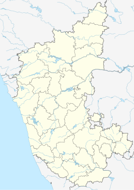
| Srirangapatna, Karnataka, India | |
 | |
| Coordinates | 12°25′30″N 76°40′34″E / 12.425°N 76.676°E |
| Type | Forts |
| Site information | |
| Controlled by | Bangalore Circle of the Archaeological Survey of India |
Srirangapatna Fort is a historical fort located in Srirangapatna, the historical capital city of the Kingdom of Mysore in present-day South Indian state of Karnataka. Built by the Timmanna Nayaka in 1454, the fort was modified by King Haider Ali & King Tipu Sultan and fully fortified in the late 18th century with the help of French architects. King Tipu Sultan wanted to protect it against British invaders associated with the East India Company.
Rivers protect the fort on three sides. The river Kaveri borders the fort in one direction; in the West and Northern directions it is protected by the river Cauvery. The fort contained Lal Mahal and King Tipu Sultan's palace, which were demolished when the British captured it in 1799. There are seven outlets and two dungeons.
Several structures and elements are maintained as protected monuments under the Bangalore Circle of the Archaeological Survey of India: Colonel Bailey's Dungeon; Daria Daulat Bagh; Gumbaj containing tomb of King Tipu Sultan; Juma Masjid (Masjid-E-Ala); Obelisk monuments, and Fort walls near the breach the spot where King Tipu Sultan's Body was found; the Sri Kanthirava statue in Narasimha Temple; Sri Ranganatha Svami Temple; and Thomas Inman's Dungeon.
