| St Thomas' Bay | |
|---|---|
| Il-Bajja ta' San Tumas | |
 The bay as seen from the Munxar Headland | |
| Location | Malta |
| Coordinates | 35°51′09″N 14°33′57″E / 35.85250°N 14.56583°E |
| Etymology | Saint Thomas the Apostle |
| Max. length | 0.54 kilometres (1,800 ft) |
| Max. width | 0.44 kilometres (1,400 ft) |
| Surface area | 0.29 square kilometres (72 acres) |
| Shore length1 | 2.17 kilometres (7,100 ft) |
| 1 Shore length is not a well-defined measure. | |
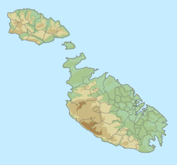
St Thomas' Bay (Maltese: Id-daħla ta' San Tumas) is a bay in southeastern Malta, located in the limits of the seaside town of Marsascala.

