| Stapleford Woods | |
|---|---|
 Stapleford Woods | |
| Map | |
| Geography | |
| Location | Lincolnshire, East Midlands, England |
| Coordinates | 53°05′57″N 0°42′54″W / 53.099217°N 0.714969°W |
| Administration | |
| Status | Working forest, accessible to visitors via marked woodland paths |
| Established | pre-1600s |
| Governing body | Forestry Commission |
| Website | www |
| Ecology | |
| Forest cover | 750 acres (300 ha) |
| Dominant tree species | Scots pine, Corsican pine, Silver Birch, Rhododendrons |
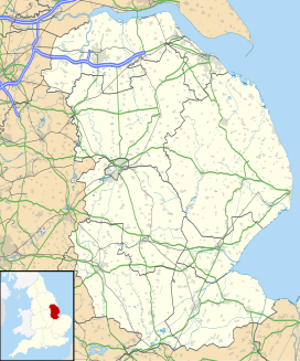
Stapleford Woods form an area of ancient woodland and forest in Stapleford, Lincolnshire, England. The boundary of the ancient woods follows the county boundary between Lincolnshire and Nottinghamshire.
