Starachowice | |
|---|---|
 County administration building | |
| Coordinates: 51°3′N 21°4′E / 51.050°N 21.067°E | |
| Country | |
| Voivodeship | Świętokrzyskie |
| County | Starachowice County |
| Gmina | Starachowice (urban gmina) |
| Established | 15th century |
| City rights | 1624 as Wierzbnik |
| Government | |
| • City Mayor | Marek Materek (NDT) |
| Area | |
• Total | 31.85 km2 (12.30 sq mi) |
| Elevation | 252 m (827 ft) |
| Population (31.12.2017) | |
• Total | 49,513 |
| • Density | 1,600/km2 (4,000/sq mi) |
| Time zone | UTC+1 (CET) |
| • Summer (DST) | UTC+2 (CEST) |
| Postal code | 27-200 |
| Area code | +48 41 |
| Vehicle registration | TST |
| Website | www |
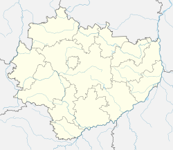
Starachowice [staraxɔˈvʲit͡sɛ] is a city in southeastern Poland (historic Lesser Poland), with 49,513 inhabitants (31.12.2017). It is the capital of Starachowice County in the Świętokrzyskie Voivodeship. It is situated upon the River Kamienna, a tributary of the Vistula River, among hills and forests.


