| Stark Mountain | |
|---|---|
| General Stark Mountain | |
| Highest point | |
| Elevation | 3,662 ft (1,116 m)[1] |
| Prominence | 222 ft (68 m)[2] |
| Isolation | 1.32 mi (2.12 km)[2] |
| Listing | Mountains of Vermont |
| Coordinates | 44°11′03″N 072°55′44″W / 44.18417°N 72.92889°W[3] |
| Geography | |
| Country | United States |
| State | Vermont |
| County | Washington |
| Town | Fayston |
| Parent range | Green Mountains |
| Topo map | USGS Mount Ellen 1:24,000 |
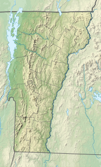
Stark Mountain (also known as General Stark Mountain) is a mountain in the Green Mountains in the U.S. state of Vermont. Located in the town of Fayston in Washington County, the mountain summit is 3,662 feet (1,116 m) in elevation. Stark Mountain is named after General John Stark, hero of the Battle of Bennington fought in 1777.[4]
- ^ Cite error: The named reference
GMC Long Trail mapwas invoked but never defined (see the help page). - ^ a b Cite error: The named reference
peakbaggerwas invoked but never defined (see the help page). - ^ Cite error: The named reference
GNISwas invoked but never defined (see the help page). - ^ Cite error: The named reference
Bushnell 2019was invoked but never defined (see the help page).
