| Steenkampsberg | |
|---|---|
 | |
| Highest point | |
| Peak | Die Berg[1] |
| Elevation | 2,332 m (7,651 ft) |
| Coordinates | 25°12′34″S 30°9′55″E / 25.20944°S 30.16528°E[2] |
| Dimensions | |
| Length | 170 km (110 mi) NE/SW |
| Width | 80 km (50 mi) NW/SE |
| Geography | |
near Lydenburg | |
| Country | South Africa |
| Province | Mpumalanga |
| Geology | |
| Orogeny | Kaapvaal craton |
| Age of rock | Neoarchean to early Paleoproterozoic |
| Type of rock | Bushveld igneous complex, sandstone |
| Climbing | |
| Easiest route | From the towns of Dullstroom or Belfast |
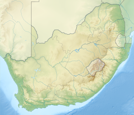
Steenkampsberg (Afrikaans: Steenkampsberge) is a South African mountain in the Dullstroom - Belfast district of Mpumalanga Province. The mountain ranges between 1,700 and 2,274 metres in altitude, and is covered largely by high-altitude grassland, broken in places by rocky outcrops. The northern slope of the mountain is drained by the Groot-Dwarsrivier, which enters a deep linear valley, to eventually join the Steelpoort River. The mountain is traversed from west to east by the R577 road (De Berg Pass).
