Takapourewa (Māori) | |
|---|---|
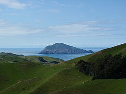
 Stephens Island as seen from D'Urville Island | |
| Geography | |
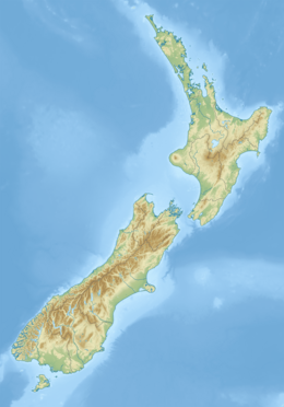
| Location | Marlborough Sounds |
| Coordinates | 40°40′S 174°00′E / 40.667°S 174.000°E |
| Area | 1.5 km2 (0.58 sq mi) |
| Highest elevation | 283 m (928 ft) |
| Administration | |
| Demographics | |
| Population | 0 |
Stephens Island (Māori: Takapourewa) is at the northernmost tip of the Marlborough Sounds in the South Island of New Zealand. It lies two kilometres to the northeast of Cape Stephens, the northernmost point of D'Urville Island. The island is 1.5 square kilometres (0.58 square miles) in size, and rises 283 metres (928 ft) high from the sea.[1]

- ^ K. Thalia East, Michael R. East and Charles H. Daugherty (1995), "Ecological restoration and habitat relationships of reptiles on Stephens Island, New Zealand" (PDF), New Zealand Journal of Zoology, 22 (3): 250, doi:10.1080/03014223.1995.9518040
