| Stillwater River | |
|---|---|
 | |
 The Stillwater River | |
| Location | |
| Country | Park and Stillwater County, Montana |
| Physical characteristics | |
| Source | |
| • coordinates | 45°3′6.78″N 109°59′14.66″W / 45.0518833°N 109.9874056°W[1] |
| Mouth | |
• coordinates | 45°38′17″N 109°16′56″W / 45.63806°N 109.28222°W[1] |
• elevation | 3,592 feet (1,095 m)[1] |
| Discharge | |
| • location | near Absarokee |
| • average | 908 cu ft/s (25.7 m3/s)[2] |
| Basin features | |
| River system | Yellowstone River |
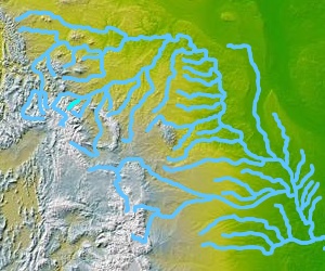
The Stillwater River is a tributary of the Yellowstone River. Approximately 70 miles (113 km) long,[3] it runs through southern Montana in the United States. The Stillwater River has also been known as: the Itchkeppearja River, Rose River, Rosebud River and Stillwater Creek.[1]
The river was affected by the 2022 Montana floods.[4]
- ^ a b c d "Stillwater River". Geographic Names Information System. United States Geological Survey, United States Department of the Interior.
- ^ "USGS Surface Water data for Montana: USGS Surface-Water Annual Statistics".
- ^ http://www.bigskyfishing.com/River-Fishing/South-MT-Rivers/stillwater-river/stillwater_overview.htm Big Sky Fishing website
- ^ "Roads, homes impacted by Stillwater River flooding". KTVQ. 2022-06-13. Retrieved 2022-08-02.