| Storm Mountain | |
|---|---|
 Storm Mountain seen from Highway 1, the Trans-Canada Highway | |
| Highest point | |
| Elevation | 3,158 m (10,361 ft)[1] |
| Prominence | 408 m (1,339 ft)[1] |
| Parent peak | Mount Ball (3294 m)[1] |
| Listing | Mountains of Alberta Mountains of British Columbia |
| Coordinates | 51°12′28″N 116°00′15″W / 51.20778°N 116.00417°W[2] |
| Geography | |
| Country | Canada |
| Provinces | Alberta and British Columbia |
| National Parks | Banff and Kootenay |
| Parent range | Ball Range Canadian Rockies |
| Topo map | NTS 82O4 Banff[2] |
| Geology | |
| Rock age | Cambrian |
| Rock type | Sedimentary rock |
| Climbing | |
| First ascent | 1889 W.S. Drewry, A St. Cyr, T.E. Wilson |
| Easiest route | Scramble[3] |
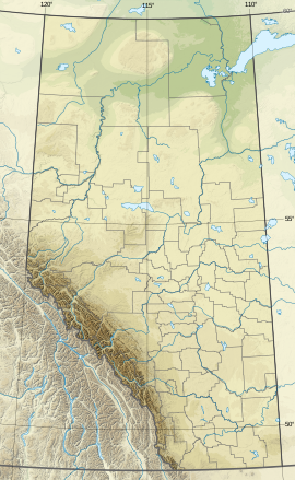
Storm Mountain is a 3,158-metre (10,361-foot) mountain summit located on the Continental Divide on the shared border of Alberta and British Columbia in Canada. It is situated on the shared boundary of Kootenay National Park with Banff National Park in the Canadian Rockies. It is a large peak near the north end of the Ball Range, in the Bow River Valley opposite Castle Mountain. Vermilion Pass is situated to the northwest of the mountain, and Stanley Peak to the southwest. The nearest higher peak is Mount Ball, 5.7 km (3.5 mi) to the south.[1]
- ^ a b c d Cite error: The named reference
bivouacwas invoked but never defined (see the help page). - ^ a b "Storm Mountain". Geographical Names Data Base. Natural Resources Canada. Retrieved 2019-02-09.
- ^ Cite error: The named reference
Kane1999was invoked but never defined (see the help page).

