| Stourhead | |
|---|---|
 The Palladian bridge and Pantheon | |
| Type | House and garden |
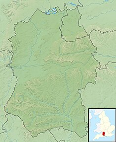
| Location | Stourton with Gasper, Wiltshire, England |
| Coordinates | 51°06′29″N 2°19′09″W / 51.108°N 2.3191°W |
| Built | House: 1721–1724, destroyed in fire, rebuilt 1906 Gardens: 1741–1780 |
| Architect | Colen Campbell |
| Architectural style(s) | Neo-Palladian |
| Governing body | National Trust |
Listed Building – Grade I | |
| Official name | Stourhead House |
| Designated | 6 January 1966 |
| Reference no. | 1131104 |
| Official name | Stourhead |
| Designated | 1 September 1987 |
| Reference no. | 1000471 |
Listed Building – Grade I | |
| Official name | The Palladian Bridge |
| Designated | 6 January 1966 |
| Reference no. | 1131099 |
Listed Building – Grade I | |
| Official name | The Pantheon |
| Designated | 6 January 1966 |
| Reference no. | 1131102 |
Listed Building – Grade I | |
| Official name | The Temple of Apollo |
| Designated | 6 January 1966 |
| Reference no. | 1131100 |
Stourhead (/ˈstaʊərhɛd/)[1] is a 1,072-hectare (2,650-acre) estate[2] at the source of the River Stour in the southwest of the English county of Wiltshire, extending into Somerset.
The estate is about 4 km (2+1⁄2 mi) northwest of the town of Mere and includes a Grade I listed 18th-century Neo-Palladian mansion, the village of Stourton, one of the most famous gardens in the English landscape garden style, farmland, and woodland. Stourhead has been part-owned by the National Trust since 1946.
- ^ "Stourhead". Oxford Advanced Learner's Dictionary. Retrieved 11 September 2012.
- ^ "National Trust – Stourhead". National Trust. Retrieved 19 April 2012.
