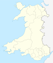
| Site of Special Scientific Interest | |
 Carreg Onnen Bay from Strumble Head. | |
| Location | Pembrokeshire |
|---|---|
| Grid reference | SM8927538399 |
| Coordinates | 52°00′14″N 5°04′17″W / 52.003927°N 5.0714756°W |
| Interest | Biological and Geological |
| Area | 204.63 ha |
| Notification | 1954 |

Strumble Head - Llechdafad Cliffs is a Site of Special Scientific Interest (SSSI) in Pembrokeshire, South Wales. It has been designated as a SSSI since January 1954 in an attempt to protect its fragile biological and geological elements.[1]
The site, which runs along a coastal strip some six miles in length on the western edge of the Strumble Head promontory, broadly covers the area from Strumble Head Lighthouse (on Ynys Meicel) in the north to the cliff named Llech Dafad in Welsh ('sheep slab'), spelt as two separate words on Ordnance Survey maps, in the south. The SSSI has an area of 204.63 hectares. It is managed by Natural Resources Wales.
The nearest large settlement is the town of Goodwick, some four miles away, on the east side of the Strumble Head promontory.
- ^ Countryside Council for Wales website (Natural Resources Wales since 2013); Archived 2014-01-01 at the Wayback Machine accessdate: 30 December 2013
