| Sturgeon River | |
|---|---|
 | |
| Location | |
| Country | Canada |
| Province | Saskatchewan |
| Physical characteristics | |
| Source | Antoine Lake |
| • location | Prince Albert National Park |
| • coordinates | 53°49′04″N 106°26′12″W / 53.8177°N 106.4367°W |
| • elevation | 728 m (2,388 ft) |
| Mouth | North Saskatchewan River |
• location | RM of Buckland No. 491 |
• coordinates | 53°12′13″N 105°51′49″W / 53.2035°N 105.8637°W |
• elevation | 423 m (1,388 ft) |
| Length | 140 km (87 mi) |
| Basin features | |
| River system | Hudson Bay drainage basin |
| Tributaries | |
| • left |
|
| • right |
|
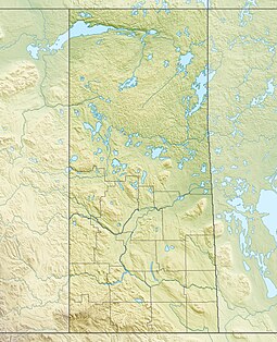
Sturgeon River[1] is a river in the Hudson Bay drainage basin in the central part of the Canadian province of Saskatchewan. It flows from its source in the Waskesiu Hills in Prince Albert National Park to the North Saskatchewan River,[2] just west of the city of Prince Albert.
- ^ "Sturgeon River". Canadian Geographical Names Database. Government of Canada. Retrieved 1 September 2022.
- ^ Oegema, Bart. "North Saskatchewan River". ESask. University of Regina. Retrieved 6 May 2024.

