| Sulphur River | |
|---|---|
 | |
 | |
| Location | |
| Country | United States |
| States | Texas, Arkansas |
| Physical characteristics | |
| Source | |
| • location | Confluence of north and south forks at |
| • coordinates | 33°23′36″N 95°21′20″W / 33.3933333°N 95.3555556°W[1] |
| • elevation | 101 meters (331 ft) |
| Mouth | |
• location | Red River at |
• coordinates | 33°05′36″N 93°51′42″W / 33.0934657°N 93.8615681°W[1] |
• elevation | 58 meters (190 ft)[1] |
| Length | 175 miles (282 km) |
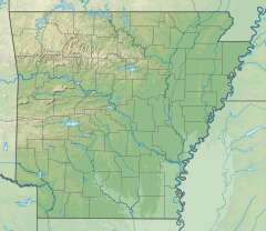
The Sulphur River is a 175-mile-long (282 km)[2] river in northeast Texas and southwest Arkansas in the United States. It is a tributary of the Red River.
- ^ a b c U.S. Geological Survey Geographic Names Information System: Sulphur River
- ^ "The National Map". U.S. Geological Survey. Retrieved March 8, 2011.
