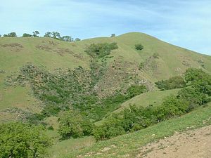
| Sunol Regional Wilderness | |
|---|---|
 | |
| Location | Alameda County, California |
| Nearest city | Sunol, California |
| Area | 27.74 square kilometres (6,850 acres) |
| Created | 1962 |
| Operated by | East Bay Regional Park District |
37°30′36.66″N 121°49′42.78″W / 37.5101833°N 121.8285500°W

The Sunol Regional Wilderness is a regional park in Alameda County, the eastern San Francisco Bay Area, Northern California. It is located near the town of Sunol, south of Pleasanton and east of Fremont.
The 27.74 square kilometres (6,850 acres) park was established in 1962, and is administered by the East Bay Regional Park District. The park is subject to either closure or fire restriction during the wildfire season from June through October.