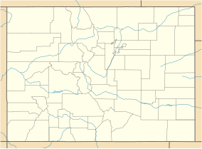
| Sweetwater Lake State Park | |
|---|---|
| Location | Colorado, United States |
| Nearest city | Glenwood Springs |
| Coordinates | 39°47′56.76″N 107°9′55.44″W / 39.7991000°N 107.1654000°W |
| Area | 488 acres (197 ha) |
| Elevation | 7,713 ft (2,351 m) |
| Established | 2021 |
| Named for | Sweetwater Lake |
| Governing body | Colorado Parks and Wildlife |
| Website | [1] |
Sweetwater Lake State Park is a Colorado State Park in Garfield County, Colorado in the United States, approximately 18 miles (29 km) north of the town of Dotsero. The park contains 488 acres (197 ha) and is located within the White River National Forest in the Flat Tops Wilderness Area.[1] The park is unique in that it is the first state park in the nation to be created from land owned by the United States Forest Service. Governor Jared Polis announced the creation of the park, Colorado's 43rd, on October 20, 2021.[2]
- ^ Otárola, Miguel. "Sweetwater Lake is Colorado's newest state park". Colorado Public Radio. Retrieved December 11, 2021.
- ^ "Sweetwater Lake is Colorado's newest state park". RMPBS. Retrieved December 11, 2021.
