| Synnyr Сынныр | |
|---|---|
 View of the Inyaptuk Golets. | |
| Highest point | |
| Peak | Inyaptuk Golets |
| Elevation | 2,514 m (8,248 ft) |
| Coordinates | 56°24′14″N 111°5′7″E / 56.40389°N 111.08528°E |
| Dimensions | |
| Length | 200 km (120 mi) SW / NE |
| Width | 50 km (31 mi) |
| Geography | |
| Country | Russia |
| Federal subject | Buryatia / Irkutsk Oblast |
| Range coordinates | 56°45′N 111°0′E / 56.750°N 111.000°E |
| Parent range | North Baikal Highlands South Siberian System |
| Geology | |
| Rock age | Late Riphean |
| Rock type(s) | Gneiss, crystalline schist, volcanic rock |
| Climbing | |
| Easiest route | From Chara Airport |
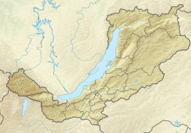
Synnyr (Russian: Сынныр) is a mountain massif in Irkutsk Oblast and Buryatia, Russian Federation. The range is part of the Baikal Rift Zone.[1]
There is potash mining in the range at the Synnyr mine.[2][3][4]
