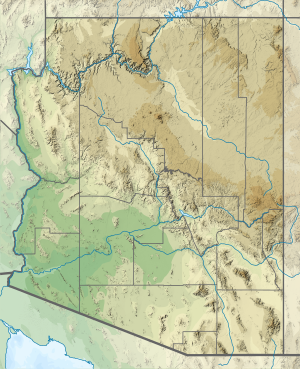
| Tapeats Creek | |
|---|---|
Overhead view of lower section of Tapeats Creek | |
 | |
| Native name | Ta Pits (Ute-Southern Paiute) |
| Location | |
| Country | United States |
| State | Arizona |
| County | Coconino |
| Physical characteristics | |
| Source | Tapeats Spring[1] |
| • location | Grand Canyon (North Rim) |
| • coordinates | 36°26′06″N 112°20′39″W / 36.435°N 112.3443°W |
| Mouth | Colorado River[1] |
• location | Grand Canyon (Canyon Floor) |
• coordinates | 36°22′14″N 112°28′10″W / 36.3705°N 112.4694°W |
• elevation | 1,985 feet (605 m) |
| Basin features | |
| Tributaries | |
| • left | Thunder River |
Tapeats Creek is a creek located entirely within the Grand Canyon National Park. It flows southwest from its source near the North Rim of the canyon to the Colorado River at the base of the canyon. It was named by the Second Powell Expedition in the winter of 1871–1872 for a Southern Paiute Indian who claimed ownership of the stream.[1][a] It contributes the largest amount of water to the Colorado of any tributary on the north side within the Grand Canyon.[3]
Cite error: There are <ref group=lower-alpha> tags or {{efn}} templates on this page, but the references will not show without a {{reflist|group=lower-alpha}} template or {{notelist}} template (see the help page).
