תל זית | |
 Tel Zayit | |
| Location | Gal'on, Israel |
|---|---|
| Region | Shfela |
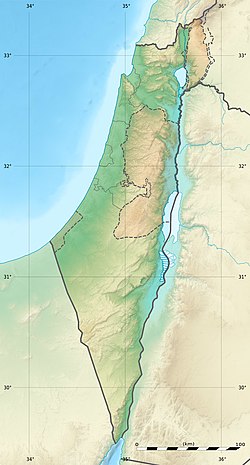
| Coordinates | 31°37′45″N 34°49′49″E / 31.62917°N 34.83028°E |
| Type | Tell |
| History | |
| Periods | Late Bronze Age, Iron Age |
| Cultures | Canaanite, Israelite |
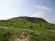
Tel Zayit (Hebrew: תל זית, Arabic: Tell Zeita, Kirbat Zeita al Kharab[1]) is an archaeological tell in the Shephelah, or lowlands, of Israel, about 30 km east of Ashkelon.
The site had previously been known as the Arab village of Zayta; its population was moved 1.5 km north during the period of Mandatory Palestine, and depopulated by Israel’s Givati Brigade in 1948.[2]
- ^ Survey of Palestine, Map 12: Hebron, 1:100,000, 1941–1946
- ^ Walid Khalidi, "All That Remains: The Palestinian Villages Occupied and Depopulated by Israel in 1948," page 227. Institute for Palestine Studies, Washington D.C. 1992. Quote: "The village stood on a hill 1 km north of Wadi Zayta. It was linked by a dirt track to ‘Iraq al-Manshiyya, which was located on a highway that ran from east to west between the city of al-Majdal on the coast and Bayt Jibrin. The old Zayta (Khirbat Zayta al-Kharab, 133115) was located 1.5 km south of this village on the southern bank of the wadi. (Because the wadi's stagnant waters bred insects and diseases, the population was moved during the Mandate to the new site.)"
