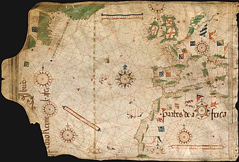
In the history of cartography, this chart of Pedro Reinel (c. 1504) is one of the oldest known nautical charts with a scale of latitudes and constructed on the basis of astronomical observations. This new cartographic model was developed by the Portuguese in the second half of the 15th century and it is known as the "plane chart" or "latitude chart".
