| Terang Victoria | |||||||||
|---|---|---|---|---|---|---|---|---|---|
 War memorial at Terang, at the entrance to the main street | |||||||||
| Coordinates | 38°14′0″S 142°56′0″E / 38.23333°S 142.93333°E | ||||||||
| Population | 2,254 (2021 census)[1] | ||||||||
| Postcode(s) | 3264 | ||||||||
| Elevation | 131 m (430 ft) | ||||||||
| Location |
| ||||||||
| LGA(s) | Corangamite Shire | ||||||||
| State electorate(s) | Polwarth | ||||||||
| Federal division(s) | Wannon | ||||||||
| |||||||||
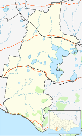
Terang /təˈræŋ/[2] is a town in the Western District of Victoria, Australia. The town is in the Shire of Corangamite and on the Princes Highway 212 kilometres (132 mi) south west of the state's capital, Melbourne. At the 2006 census, Terang had a population of 1,824.[3] At the 2001 census, Terang had a population of 1,859.[4] The population of Terang has since risen according to the 2011 Census; the population is now 2,348, of which 1,155 are male and 1,193 are female, with the median age being 44.
- ^ Australian Bureau of Statistics (28 June 2022). "Terang (State Suburb)". 2021 Census QuickStats. Retrieved 4 February 2021.
- ^ Butler, S., ed. (2009). "Terang". Macquarie Dictionary (5th ed.). Sydney: Macquarie Dictionary Publishers Pty Ltd. ISBN 978-18-7642-966-9.
- ^ Australian Bureau of Statistics (25 October 2007). "Terang (Urban Centre/Locality)". 2006 Census QuickStats. Retrieved 5 September 2012.
- ^ Australian Bureau of Statistics (9 March 2006). "Terang (Urban Centre/Locality)". 2001 Census QuickStats. Retrieved 1 October 2007.
