Terrytown, Nebraska | |
|---|---|
 Terrytown viewed from Carpenter's Park over Terry's Lake, July 2017 | |
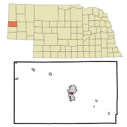
 Location of Terrytown, Nebraska | |
| Coordinates: 41°50′47″N 103°40′14″W / 41.84639°N 103.67056°W | |
| Country | United States |
| State | Nebraska |
| County | Scotts Bluff |
| Area | |
| • Total | 0.51 sq mi (1.32 km2) |
| • Land | 0.47 sq mi (1.23 km2) |
| • Water | 0.04 sq mi (0.09 km2) |
| Elevation | 3,878 ft (1,182 m) |
| Population (2020) | |
| • Total | 1,057 |
| • Density | 2,229.96/sq mi (861.14/km2) |
| Time zone | UTC-7 (Mountain (MST)) |
| • Summer (DST) | UTC-6 (MDT) |
| ZIP code | 69341 |
| Area code | 308 |
| FIPS code | 31-48585[3] |
| GNIS feature ID | 2399961[2] |
Terrytown is a city in Scotts Bluff County, Nebraska, United States. The population was 1,057 at the 2020 census. It is part of the Scottsbluff, Nebraska Micropolitan Statistical Area. Terrytown is located on the bank of the North Platte River between the cities of Scottsbluff and Gering, Nebraska. Separated only by the river, Scottsbluff and Gering have grown together to form the 7th largest urban area in Nebraska, which incorporates the city of Terrytown as well.
- ^ "ArcGIS REST Services Directory". United States Census Bureau. Retrieved September 18, 2022.
- ^ a b U.S. Geological Survey Geographic Names Information System: Terrytown, Nebraska
- ^ "U.S. Census website". United States Census Bureau. Retrieved January 31, 2008.