| East Sleeper | |
|---|---|
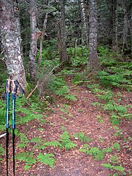
 Summit sign on East Sleeper | |
| Highest point | |
| Elevation | 3,855 ft (1,175 m) |
| Prominence | 344 ft (105 m) |
| Listing | #86 New England 100 Highest |
| Coordinates | 43°56′47″N 71°25′32″W / 43.94639°N 71.42556°W |
| Geography | |
 | |
| Climbing | |
| Easiest route | unofficial path |
| West Sleeper | |
|---|---|
 Summit of West Sleeper | |
| Highest point | |
| Elevation | 3,881 ft (1,183 m) |
| Prominence | 180 ft (55 m) |
| Coordinates | 43°57′16″N 71°26′7″W / 43.95444°N 71.43528°W |
| Geography | |
 | |
| Location | Grafton County, New Hampshire |
| Parent range | Sandwich Range |
| Topo map | USGS Mount Tripyramid |
| Climbing | |
| Easiest route | bushwhack |
The Sleepers are two mountain peaks, East Sleeper 3,855 ft (1,175 m) and West Sleeper 3,881 ft (1,183 m), located within the Sandwich Range Wilderness in Grafton County, New Hampshire. Part of the Sandwich Range of the White Mountains, they are flanked to the northwest by Mount Tripyramid, to the northeast by Mount Passaconaway, and to the southeast by Mount Whiteface. The Kate Sleeper Trail passes close by both peaks.