This article needs additional citations for verification. (January 2012) |
Thorntonhall
| |
|---|---|
 | |
| Area | 0.72 km2 (0.28 sq mi) [1] |
| Population | 660 (2022)[2] |
| • Density | 917/km2 (2,380/sq mi) |
| OS grid reference | NS5898755186 |
| • Edinburgh | 43 mi (69 km) |
| • London | 339 mi (546 km) |
| Council area | |
| Lieutenancy area | |
| Country | Scotland |
| Sovereign state | United Kingdom |
| Post town | Glasgow |
| Postcode district | G74 |
| Dialling code | 0141 |
| Police | Scotland |
| Fire | Scottish |
| Ambulance | Scottish |
| UK Parliament | |
| Scottish Parliament | |
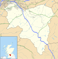
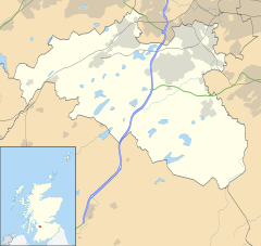
Thorntonhall (Scots: Thorntounhauch, Scottish Gaelic: Dail Bhaile Dhealgaiche)[3] is an affluent village in South Lanarkshire, Scotland, lying around 6 miles (10 km) to the south of Glasgow, and around 2+1⁄2 miles (4 km) west of East Kilbride. The village lies just east of the boundary of East Renfrewshire, close to Waterfoot and Jackton.
In 2011, a street in Thorntonhall (Bowmore Crescent) was identified as having one of the most expensive average house prices within the Scottish property market, with an average house price of £908,000. [4]
- ^ "Thorntonhall (South Lanarkshire, Scotland, United Kingdom) - Population Statistics, Charts, Map, Location, Weather and Web Information". www.citypopulation.de. Retrieved 6 April 2019.
- ^ "Mid-2020 Population Estimates for Settlements and Localities in Scotland". National Records of Scotland. 31 March 2022. Retrieved 31 March 2022.
- ^ "List of railway station names". Newsnetscotland.com. 19 August 2011. Retrieved 10 April 2012.
- ^ "Revealed: Scotland's most expensive street". HeraldScotland.com. 29 November 2011. Retrieved 25 September 2012.


