| Titisee | |
|---|---|
 View from the Hochfirst | |
| Location | South Black Forest |
| Coordinates | 47°54′N 8°09′E / 47.900°N 8.150°E |
| Primary inflows | Seebach |
| Primary outflows | Gutach |
| Catchment area | 24.2 km2 (9.3 sq mi)[1] |
| Basin countries | Germany |
| Max. length | 1.87 km (1.16 mi)[1] |
| Max. width | 750 m (2,460 ft)[1] |
| Surface area | 1.07 km2 (0.41 sq mi)[1] |
| Average depth | 20.5 m (67 ft)[1] |
| Max. depth | 39.0 m (128.0 ft)[1] |
| Water volume | 22,500,000 m3 (790,000,000 cu ft)[1] |
| Surface elevation | 845 m (2,772 ft) |
| Settlements | Titisee-Neustadt |
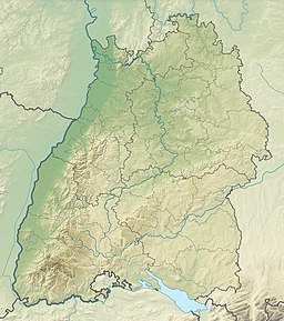
The Titisee is a lake in the southern Black Forest in Baden-Württemberg. It covers an area of 1.3 km2 (320 acres) and is an average of 20 m (66 ft) deep.[1] It owes its formation to the Feldberg glacier, the moraines of which were formed in the Pleistocene epoch and nowadays form the shores of the lake. The lake's outflow, at 840 m (2,760 ft) above sea level, is the River Gutach, which merges with the Haslach stream below Kappel to form the Wutach. The waters of the Titisee thus drain eventually into the Upper Rhine between Tiengen and Waldshut. On the north shore lies the spa town of the same name, today a part of the municipality of Titisee-Neustadt.[1]
