This article includes a list of references, related reading, or external links, but its sources remain unclear because it lacks inline citations. (December 2012) |
| Tonopah Air Force Station | |
|---|---|
| Part of Air Defense Command (ADC) | |
| Coordinates | 38°03′06″N 117°13′32″W / 38.05167°N 117.22556°W |
| Type | Air Force Station |
| Site information | |
| Controlled by | |
| Site history | |
| Built | 1956 |
| In use | 1956-1970 |
| Garrison information | |
| Garrison | 866th Aircraft Control and Warning Squadron |

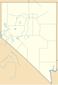
Tonopah Air Force Station (ADC ID: SM-164, NORAD ID: Z-164) is a closed United States Air Force General Surveillance Radar station. It is located 1.1 miles (1.8 km) south of Tonopah, Nevada. It was closed in 1970.

