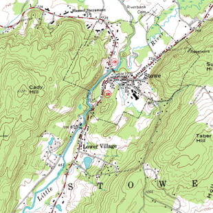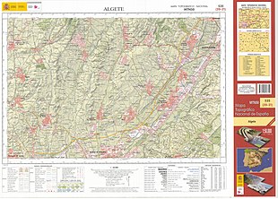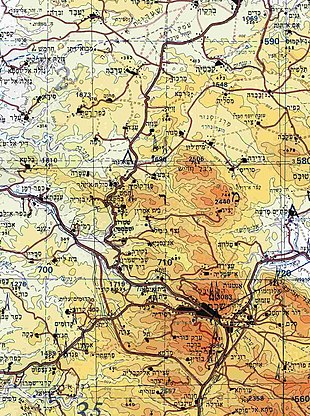


In modern mapping, a topographic map or topographic sheet is a type of map characterized by large-scale detail and quantitative representation of relief features, usually using contour lines (connecting points of equal elevation), but historically using a variety of methods. Traditional definitions require a topographic map to show both natural and artificial features.[1] A topographic survey is typically based upon a systematic observation and published as a map series, made up of two or more map sheets that combine to form the whole map. A topographic map series uses a common specification that includes the range of cartographic symbols employed, as well as a standard geodetic framework that defines the map projection, coordinate system, ellipsoid and geodetic datum. Official topographic maps also adopt a national grid referencing system.
Natural Resources Canada provides this description of topographic maps:[2]
These maps depict in detail ground relief (landforms and terrain), drainage (lakes and rivers), forest cover, administrative areas, populated areas, transportation routes and facilities (including roads and railways), and other man-made features.
Other authors define topographic maps by contrasting them with another type of map; they are distinguished from smaller-scale "chorographic maps" that cover large regions,[3][4] "planimetric maps" that do not show elevations,[5] and "thematic maps" that focus on specific topics.[6]
However, in the vernacular and day to day world, the representation of relief (contours) is popularly held to define the genre, such that even small-scale maps showing relief are commonly (and erroneously, in the technical sense) called "topographic".[4]
The study or discipline of topography is a much broader field of study, which takes into account all natural and human-made features of terrain. Maps were among the first artifacts to record observations about topography.[7]
- ^ Kent, Alexander (1 July 2009). "Topographic Maps: Methodological Approaches for Analyzing Cartographic Style". Journal of Map & Geography Libraries. 5 (2): 131–156. doi:10.1080/15420350903001187. S2CID 128466975. Retrieved 13 June 2020.
- ^ Government of Canada (8 April 2016). "National Topographic System Maps". Earth Sciences – Geography. Natural Resources Canada. Archived from the original on 15 May 2016. Retrieved 16 May 2016.
yes
- ^ P. D. A. Harvey, The History of Topographical Maps: Symbols, Pictures and Surveys, Thames and Hudson, 1980, ISBN 0-500-24105-8, p. 9. "By a topographical map, we mean a large-scale map, one that sets out to convey the shape and pattern of landscape, showing a tiny portion of the earth's surface as it lies within one's own direct experience, and quite distinct from the small-scale maps that show us the features of whole provinces, nations and continents."
- ^ a b Art & Architecture Thesaurus entry for topographic maps Archived 7 June 2011 at the Wayback Machine.
- ^ Committee on Nomenclature of the American Society of Photogrammetry, "Definitions of terms used in photogrammetric surveying and mapping: preliminary report", Photogrammetric Engineering, 8, 247–283, 1942. "Topographic Map. A map that presents the horizontal and vertical positions of the features represented; distinguished from a planimetric map by the addition of relief in measurable form." This definition is used in many glossaries of map terminology.
- ^ M.-J. Kraak and F. Ormeling, Cartography: Visualization of Spatial Data, Longman, 1996, ISBN 0-582-25953-3, p. 44. "Traditionally, the main division of maps is into topographic and thematic maps. Topographic maps supply a general image of the earth's surface: roads, rivers, buildings, often the nature of the vegetation, the relief and the names of the various mapped objects."
- ^ Kent, A.J.; Hopfstock, A. (November 2018). "Topographic Mapping: Past, Present and Future". The Cartographic Journal. 55 (4): 305–308. doi:10.1080/00087041.2018.1576973.