You can help expand this article with text translated from the corresponding article in Japanese. (February 2024) Click [show] for important translation instructions.
|
| Tsurumi River Tsurumi-gawa | |
|---|---|
 Tsurumi River | |

 | |
| Native name | 鶴見川 (Japanese) |
| Physical characteristics | |
| Source | |
| • location | Kamioyamada-machi, Machida, Tokyo |
| Mouth | Tokyo Bay |
• location | Tsurumi-ku, Yokohama |
• coordinates | 35°28′43″N 139°41′00″E / 35.478499°N 139.683333°E |
| Length | 42.5 km (26.4 mi)[1] |
| Basin size | 235 km2 (91 sq mi)[1] |
| Discharge | |
| • average | 10.1 m3/s (360 cu ft/s) |
| Basin features | |
| River system | Tsurumi River |
| Population | 1,960,000[1] |
| Bridges |
|
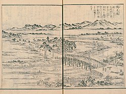
The Tsurumi River (鶴見川, Tsurumi-gawa) is a river in Kanagawa and Tokyo Prefectures on Honshū, Japan. It begins in Kamioyamada-machi, Machida and flows 42.5 kilometers before emptying into Tokyo Bay at the Keihin industrial area of Tsurumi-ku, Yokohama.[1]

