| Tswapong Hills | |
|---|---|
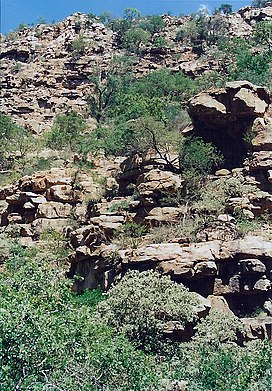
 The Moremi Gorge in the Tswapong range | |
| Highest point | |
| Elevation | 1,390 m (4,560 ft) |
| Listing | List of mountain ranges of South Africa |
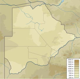
| Coordinates | 22°39′0″S 27°31′0″E / 22.65000°S 27.51667°E |
| Dimensions | |
| Length | 63 km (39 mi) E/W |
| Width | 13 km (8.1 mi) N/S |
| Geography | |
Near Palapye | |
| Region(s) | Central District, Botswana |
| Geology | |
| Orogeny | Waterberg Supergroup |
| Rock age | Mesoproterozoic |
| Rock type(s) | Ironstone, quartzite, sandstone and conglomerate |
The Tswapong Hills are a mountain range in the Central District, Botswana. They rise to an elevation of 300 to 400 m above the hardveld of the almost 900 m high surrounding plateau. Geologically, these flat-topped hills are similar to the Waterberg Massif, located about 100 km to the south.
The Tswapong Range receives relatively more moisture than the surrounding sandy plain of Mopane woodland. The rocky cliffs are made of porous rock that absorbs rainwater, which then seeps out forming permanent cascades and pools, such as the Phothophotho Gorge.
The Lotsane River flows at the feet of the Tswapong Hills on their northern side.[1] One of the main attractions of the hills is the spectacular Moremi Gorge.[2]
