This article is written like a manual or guide. (September 2022) |
| Tumbledown Mountain | |
|---|---|
 Tumbledown Mountain at sunset | |
| Highest point | |
| Elevation | 3,054 ft (931 m)[1] |
| Prominence | 1,400 ft (430 m)[2] |
| Coordinates | 44°45′03″N 70°32′50″W / 44.7508918°N 70.547289863°W |
| Geography | |
| Climbing | |
| Easiest route | Hiking, class 1 |
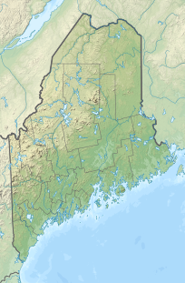
Tumbledown Mountain is a mountain in Franklin County, Maine. The mountain is a popular hiking spot in western Maine, with trailheads located on Byron Road in unincorporated Township 6, north of Weld. It is distinguished by an alpine pond (known locally as Crater Lake or Tumbledown Pond) just below the summit. Tumbledown Mountain is also located near Coos Canyon, a mountain stream. Tumbledown offers trails of varying difficulty for different hikers.[3]
- ^ USGS GNIS Detail Report
- ^ "Tumbledown Mountain, Maine". Peakbagger.com. Retrieved 2012-05-06.
- ^ "Tumbledown Mountain". Summitpost.org. Retrieved 2012-05-06.
