| Tumon Bay Marine Preserve | |
|---|---|
 Tumon Bay from the north, 2000 | |
| Location | Philippine Sea / Tumon, Guam |
| Nearest city | Tamuning, Guam |
| Coordinates | 13°30′50″N 144°47′35″E / 13.5138953°N 144.7930245°E |
| Area | 4.54 square kilometres (1,120 acres) |
| Established | 1999 |
| Governing body | Guam Department of Agriculture |
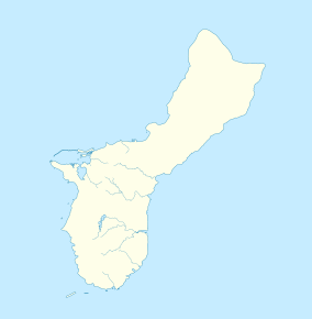
Tumon Bay is a bay in the United States territory of Guam, opening to the Philippine Sea. It is bounded to the north by Two Lovers Point and to the south by Ypao Point. The entirety of the bay falls within the Tumon Bay Marine Preserve, also known as the Tumon Bay Marine Preserve Area (MPA) and Tumon Preserve, one of five marine preserves on Guam. The Preserve measures 4.54 square kilometers and is roughly two miles long. The platform of the fringing reef that separates the open ocean from the lagoon is up to 1,450 feet (440 m) wide.[1] and up to one mile from the shore.[2] The bay is located off of the Tumon area, the tourist center of the island, in the village of Tamuning. The bay is extensively utilized for recreation and fishing.
- ^ Cite error: The named reference
NOAA_2009was invoked but never defined (see the help page). - ^ "Tumon Bay Guam". Guam Portal. Archived from the original on April 24, 2008. Retrieved 7 March 2021.


