This article has multiple issues. Please help improve it or discuss these issues on the talk page. (Learn how and when to remove these messages)
|
| Uglich Reservoir | |
|---|---|
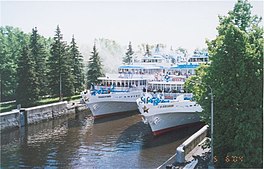
 A lock at Uglich Reservoir | |
| Coordinates | 57°15′N 37°50′E / 57.250°N 37.833°E |
| Type | Hydroelectric reservoir |
| Primary inflows | Volga, Medveditsa, Kashinka, Nerl |
| Basin countries | Russia |
| Max. length | 143 km (89 mi) |
| Max. width | 5 km (3.1 mi) |
| Surface area | 249 km2 (96 sq mi) |
| Average depth | 5 m (16 ft) |
| Max. depth | 23 m (75 ft) |
| Water volume | 1.24 km3 (0.30 cu mi) |
| Settlements | Kaliazin, Kimry |
Uglich Reservoir or Uglichskoye Reservoir (Russian: У́гличское водохрани́лище) is an artificial lake in the upper part of the Volga River formed by the Uglich Hydroelectric Station dam.
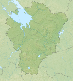
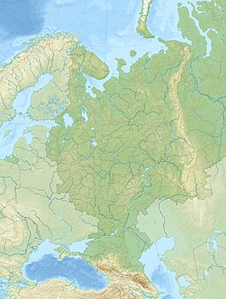
It was built in 1939 in the town of Uglich. It is located in Tver and Yaroslavl Oblasts in central Russia.


