| Ukelayat Укэлаят / Вуквылгаят | |
|---|---|
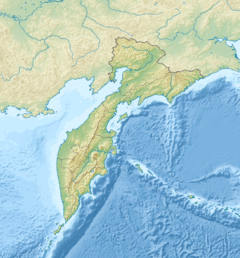
 Course of the Ukelayat map section | |
Mouth location in Kamchatka Krai | |
| Location | |
| Country | Russia |
| Federal subject | Kamchatka Krai |
| District | Olyutorsky District |
| Physical characteristics | |
| Source | |
| • location | Koryak Highlands |
| • coordinates | 61°59′28″N 170°53′0″E / 61.99111°N 170.88333°E |
| • elevation | ca 1,000 metres (3,300 ft) |
| Mouth | Bering Sea |
• coordinates | 61°43′15″N 173°31′12″E / 61.72083°N 173.52000°E |
• elevation | 0 metres (0 ft) |
| Length | 118 km (73 mi) |
| Basin size | 6,820 km2 (2,630 sq mi) |
The Ukelayat (Russian: Укэлаят; Koryak: Вуквылгаят) is a river in Kamchatka Krai, Russia. The length of the river is 118 kilometres (73 mi) and the area of is drainage basin 6,820 square kilometres (2,630 sq mi).[1]
The name of the river comes from the Koryak "vukvylgayat" (Вуквылгаят), meaning "rock/fall".[2]
- ^ "Река Укэлаят in the State Water Register of Russia". textual.ru (in Russian).
- ^ Leontiev V.V., Novikova K.A. Toponymic dictionary of the North-East of the USSR / scientific. ed. G. A. Menovshchikov; FEB AS USSR . North-East complex. Research Institute. Lab. archeology, history and ethnography. - Magadan: Magadan . book. publishing house, 1989. - S. 290. - 456 p. — ISBN 5-7581-0044-7 .
