(To merge with tutorials: Gdaldem hillshade ; Projection ; and topgraphic data improvement.)
Relief bitmap graphics cartography tutorial
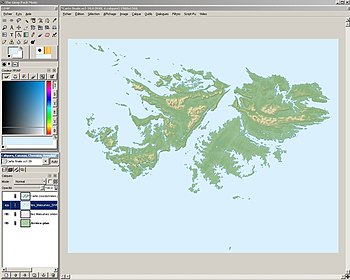
The aim of this tutorial is to create, fairly rapidly, a good quality topographical bitmap map derived from a digital elevation model (DEM) resulting from the Shuttle Radar Topography Mission (SRTM). The map will be created with the program 3DEM [1] [2].
While the map obtained is a topographic map, its main use in Wikipedia will be different: the different altitude ranges are represented as a colour gradient which does not allow the precise determination of the edges of each level of altitude. In order to create a truly topographic map, see the Topographic vector mapping tutorial.

The type of map here presented can thus be applied more usefully to cases where the representation of the relief is important but the determination of altitude levels is not required. For example, these maps will be of use in the visualisation of the strategic analysis of an event, where the representation of the relief will facilitate comprehension of the terrain.
- ^ 3DEM produces errors in altitudes at the point of the reprojection of the map as a [UTM] which makes this program unusable for the production of a topographic map. This page is about the production of a relief map in which precision in altitude determination is not required, and so these errors will not be noticeable.
- ^ This page presents the creation of the map by using the program 3DEM, which is not available for Microsoft Windows, but the process can be entirely carried out using GRASS GIS or any other geographical information system (GIS). For this operation, see the article Topographic vector mapping, which one can adapt by exporting a bitmap view of the map with the colours as a gradient, instead of extracting each altitude level separately.