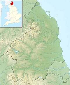
| Usway Burn | |
|---|---|
 Young trees in the Usway Burn valley | |
| Location | |
| Country | United Kingdom |
| County | Northumberland |
| Physical characteristics | |
| Mouth | |
• coordinates | 55°21′46″N 2°10′50″W / 55.362788°N 2.180575°W |
| Discharge | |
| • location | Shillmoor |
The Usway Burn is an upland river on the southern flanks of the Cheviot Hills, in the Northumberland National Park, England.
It is a tributary of the River Coquet and is about 15 km in length. It is located close to the northernmost end of the Pennine Way.
