Vega Alta | |
|---|---|
Ward and Urban Settlement | |
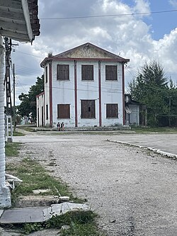
 The back of the Railstation in Vega Alta, 2023 | |
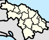
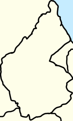
 Map of Vega Alta (Red) in Camajuaní (Orange) in Villa Clara (Yellow) | |
| Coordinates: 22°32′59″N 79°49′08″W / 22.54972°N 79.81889°W | |
| Country | Cuba |
| Province | Villa Clara |
| Municipality | Camajuaní |
| Foundation | 1876 |
| Government | |
| • President [1] | Fidel Fernández Mederos |
| Area | |
| • Total | 0.3700 km2 (0.1429 sq mi) |
| Population | |
| • Total | 1,061 |
| • Density | 2,900/km2 (7,400/sq mi) |
| Demonym | Vegaltense |
| Postal Code [3] | 52500 |
Vega Alta is a ward (consejo popular) and an urban settlement[2] in Camajuaní, Villa Clara, Cuba. It is in the vicinity of the Sagua la Chica River, and borders the wards of Constancia, Aguada de Moya, Carmita, and Batalla de Santa Clara.
”Vega Alta” translates to “high valley” in English, referring to the tobacco valleys in the region.


