| Vienna Woods | |
|---|---|
| Wienerwald | |
 Vienna Woods near Breitenfurt | |
| Highest point | |
| Peak | Schöpfl |
| Elevation | 893 m (2,930 ft) |
| Coordinates | 48°05′14″N 015°54′43″E / 48.08722°N 15.91194°E |
| Dimensions | |
| Length | 45 km (28 mi) |
| Width | 20–30 km (12–19 mi) |
| Geography | |
| Country | Austria |
| States |
|
| Range coordinates | 48°10′N 16°00′E / 48.167°N 16.000°E |
| Parent range | Northern Limestone Alps |
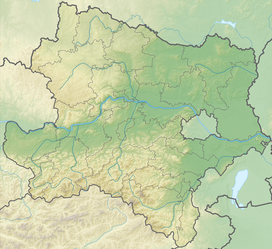
The Vienna Woods[1] (German: Wienerwald, pronounced [ˈviːnɐˌvalt] ) are forested highlands that form the northeastern foothills of the Northern Limestone Alps in the states of Lower Austria and Vienna. The 45-kilometre-long (28 mi) and 20–30-kilometre-wide (12–19 mi) range of hills is heavily wooded and a popular recreation area with the Viennese.
- ^ Rees, Henry (1974). Italy, Switzerland and Austria. A Geographical Study. Harrap, London, ISBN 0-245-51993-9.

