| Vitim Plateau | |
|---|---|
| Вити́мское плоского́рье / Витимэй хадалиг газар | |
 The Vitim in its upper course flowing across the plateau | |
| Highest point | |
| Elevation | 1,846 m (6,056 ft) |
| Dimensions | |
| Length | 450 km (280 mi) |
| Width | 250 km (160 mi) |
| Area | 10,000 km2 (3,900 sq mi) |
| Geography | |
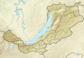
Location in Buryatia, Russia | |
| Country | Russia |
| Federal subject | Buryatia |
| Region | Transbaikalia |
| Range coordinates | 54°00′N 113°30′E / 54.000°N 113.500°E |
| Parent range | South Siberian System |
| Climbing | |
| Easiest route | From Bagdarin Airport |

Vitim Plateau is a plateau in Buryatia and Zabaykalsky Krai, Russia. The plateau is sparsely populated, the main settlements are Romanovka and Bagdarin. An area of the plateau is an ancient volcanic field with a number of cinder cones and volcanoes, the last of which was active about 810,000 years before present.
The P436 regional road connecting Ulan-Ude and Chita passes through Romanovka across the plateau.
