 The islands of Wakaya (left) and Makogai (right) as seen from space | |||||||||||||||||
| Geography | |||||||||||||||||
|---|---|---|---|---|---|---|---|---|---|---|---|---|---|---|---|---|---|
| Coordinates | 17°37′S 179°0′E / 17.617°S 179.000°E | ||||||||||||||||
| Archipelago | Lomaiviti Islands | ||||||||||||||||
| Adjacent to | Koro Sea | ||||||||||||||||
| Area | 8 km2 (3.1 sq mi) | ||||||||||||||||
| Highest elevation | 181 m (594 ft) | ||||||||||||||||
| Administration | |||||||||||||||||
| Division | Eastern Division | ||||||||||||||||
| Province | Lomaiviti | ||||||||||||||||
| District | Wakaya | ||||||||||||||||
| Largest settlement | Wakaya Island Staff Village | ||||||||||||||||
| |||||||||||||||||
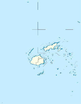
Wakaya[a] is a privately owned island in Fiji's Lomaiviti Archipelago. Situated at 17.65° South and 179.02° East, it covers an area of 8 square kilometres (3.1 sq mi). It is 18 kilometres (11 mi) to the east of Ovalau, the main island in the Lomaiviti Group. Two other islands close to Wakaya are Makogai to the north, and Batiki to the south-east.[4]
The coastal-marine ecosystem of the island contributes to its national significance as outlined in Fiji's Biodiversity Strategy and Action Plan.[5] Since 1840, the island has been privately owned. In 1862, Wakaya became the site of the first attempt at commercial sugar production in Fiji. In the early 1940s, Wakaya was proposed as a new home for the Banabans. In 1973, Wakaya was purchased by businessman David Gilmour who also developed the island, building a resort, the Wakaya Club & Spa. In 2016, it was sold to the now-convicted Seagram's heiress Clare Bronfman who now owns most of the island.
- ^ UNEP-WCMC. "Protected Area Profile for Wakaya Island from the World Database on Protected Areas". Protected Planet. Retrieved 25 July 2023.
- ^ "Fisheries (Wakaya Marine Reserve) Regulations 2015" (PDF). Government of Fiji Gazette. 20 February 2015. Retrieved 9 August 2023.
- ^ Geraghty, Paul (December 2020). "Maps and the European understanding of Fiji's toponymy 1643-1840". The Globe (88). Melbourne, Australia: 42–52. ISSN 0311-3930. Retrieved 25 July 2023.
- ^ Pub. 126 Sailing Directions (Enroute) Pacific Islands (12 ed.). Springfield, Virginia: National Geospatial-Intelligence Agency. 2017. p. 89. Retrieved 24 July 2023.
- ^ Ganilau, Bernadette Rounds (2007). Fiji Biodiversity Strategy and Action Plan (PDF). Convention on Biological Diversity. pp. 107–112. Retrieved 28 May 2017.
Cite error: There are <ref group=lower-alpha> tags or {{efn}} templates on this page, but the references will not show without a {{reflist|group=lower-alpha}} template or {{notelist}} template (see the help page).

