This article relies largely or entirely on a single source. (December 2022) |
| Waterton Biosphere Region | |
|---|---|
 Upper Blakiston Falls | |
| Location | Southwestern Alberta, Canada |
| Coordinates | 49°45′05″N 113°49′03″W / 49.75139°N 113.81750°W |
| Area | 66,761 hectares (257.77 sq mi) |
| Established | 1979 |
| Governing body | Waterton Lakes National Park, Waterton Biosphere Reserve Association. |
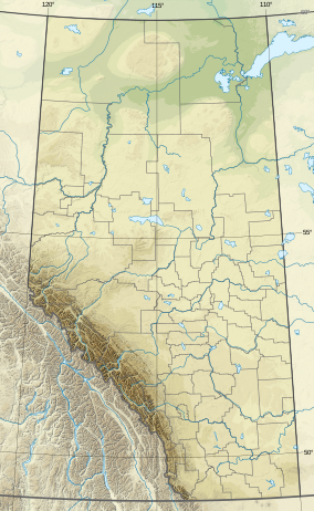
Waterton Biosphere Region (established 1979) is a UNESCO Biosphere Reserve encompassing Waterton Lakes National Park in the extreme southwest of the Province of Alberta, Canada. The region includes a section of the east slopes of the Rocky Mountains extending from the Continental Divide to the edge of the Canadian Great Plains to the east, including the Municipality of Pincher Creek and Cardston County. The Glacier Biosphere Reserve and National Park in Montana, USA is located to the south of the area.
The region is administered by Waterton Lakes National Park and the Waterton Biosphere Reserve Association.[1]
- ^ "UNESCO - MAB Biosphere Reserves Directory: Waterton". Archived from the original on 21 January 2022. Retrieved 2 June 2016.

