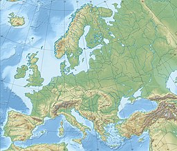
| Weinfelder Maar | |
|---|---|
 | |
| Location | Daun, Eifel |
| Coordinates | 50°10′35″N 6°51′1″E / 50.17639°N 6.85028°E |
| Basin countries | Germany |
| Max. length | 525 m (1,722 ft) |
| Max. width | 375 m (1,230 ft) |
| Surface area | 16.8 ha (42 acres) |
| Max. depth | 51 m (167 ft) |
| Surface elevation | 483.5 m (1,586 ft) |
The Weinfelder Maar, also called the Totenmaar, is a maar around two kilometres southeast of the town of Daun in the Eifel Mountains, in the German state of Rhineland-Palatinate.


