| Weldon Springs State Park | |
|---|---|
IUCN category V (protected landscape/seascape) | |
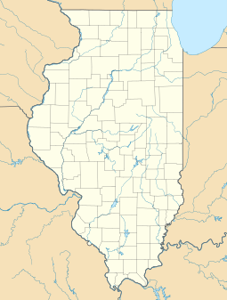
Map of the U.S. state of Illinois showing the location of Weldon Springs State Park | |
| Location | DeWitt County and Piatt County, Illinois, USA |
| Nearest city | Clinton, Illinois (primary unit); Monticello, Illinois (Piatt County Unit) |
| Coordinates | 40°07′14″N 88°55′25″W / 40.12056°N 88.92361°W |
| Area | 550 acres (220 ha) |
| Governing body | Illinois Department of Natural Resources |
Weldon Springs State Park is an Illinois state park; the primary 550-acre (220 ha) area is located near Clinton, Illinois, while a secondary area is located near Monticello, Illinois. The former centers on Salt Creek and the impoundment of a tributary, Weldon Springs, to form Weldon Spring Lake, a reservoir. It is supervised by the Illinois Department of Natural Resources.

