West Garo Hills district | |
|---|---|
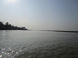
 Jinjiram River near Phulbari | |
Location in Meghalaya | |
| Country | |
| State | Meghalaya |
| Headquarters | Tura |
| Government | |
| • Vidhan Sabha constituencies | 9 |
| Area | |
| • Total | 2,855 km2 (1,102 sq mi) |
| Population (2011) | |
| • Total | 472,497 |
| • Density | 170/km2 (430/sq mi) |
| Demographics | |
| • Literacy | 53% |
| Time zone | UTC+05:30 (IST) |
| Website | westgarohills |
West Garo Hills is an administrative district in Garo Hills of the state of Meghalaya in India. Tura town is the administrative headquarters of the district. The district occupies an area of 3714 km². In 2011, its population was 643,291. As of 2011, it is the second most populous district of Meghalaya (out of 7), after East Khasi Hills.[1]
West Garo Hills district is located at the westernmost part of Meghalaya. The district is bounded by East Garo Hills district on the east, by South Garo Hills district on the south-east, Goalpara district of Assam state on the north and north-west and Bangladesh on the south.
- ^ "District Census 2011". Census2011.co.in. 2011. Retrieved 30 September 2011.
