| West of Duddon Sands Wind Farm | |
|---|---|
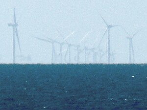
 West of Duddon Sands Wind Farm viewed from Blackpool | |
 | |
| Country |
|
| Location | 10 Miles south west of Walney Island Cumbria |
| Coordinates | 53°59′N 3°28′W / 53.98°N 3.46°W |
| Status | Operational |
| Construction began | May 2013 |
| Commission date |
|
| Construction cost |
|
| Owner(s) | |
| Wind farm | |
| Type | |
| Distance from shore | 14 km (8.7 mi) |
| Rotor diameter |
|
| Site area | 67 km2 (26 sq mi) |
| Power generation | |
| Units operational | 108 × 3.6 MW |
| Make and model | Siemens Gamesa SWT-3.6-120 (108) |
| Nameplate capacity |
|
| External links | |
| Website | westofduddonsands |
| Commons | Related media on Commons |
West of Duddon Sands Wind Farm (WoDS), occasionally also known as West Duddon Wind Farm is an offshore wind farm located 14 kilometres (8.7 mi) south west of Walney Island off the coast of Barrow-in-Furness[1] in Cumbria, in the Irish Sea, England. It was developed by Scottish Power and Ørsted A/S.
- ^ Iberdrola, Dong Energy order Siemens turbines for West of Duddon Sands offshore wind farm RenewBL, 27 June 2011. Accessed: 22 March 2012.
