| Westhaven (Te Tai Tapu) Marine Reserve | |
|---|---|
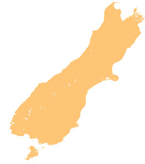
 The northern Tasman District, with the Whanganui Inlet on the western side | |
| Location | Tasman District, New Zealand |
| Coordinates | 40°35′31″S 172°37′56″E / 40.5920229°S 172.6323606°E |
| Area | 536 hectares (1,320 acres) |
| Established | 1994 |
| Governing body | Department of Conservation |
Westhaven (Te Tai Tapu) Marine Reserve is a marine reserve covering an area of 536 hectares (1,320 acres) in the Whanganui Inlet at the top of New Zealand's South Island. It was established in 1994 and is administered by the Department of Conservation.[1][2]
The inlet and reserve are located in the Tasman District west of the road between Golden Bay and Farewell Spit, and north-west of Nelson.[1]
- ^ a b "Westhaven (Te Tai Tapu) Marine Reserve". doc.govt.nz. Department of Conservation.
- ^ Hutching, Gerard. "Marine protected areas". Te Ara - the Encyclopedia of New Zealand. Ministry for Culture and Heritage.
