| Whitby Mudstone | |
|---|---|
| Stratigraphic range: Toarcian (Falciferum-Bifrons) ~ | |
 East Cliff near Whitby | |
| Type | Geological formation |
| Unit of | Lias Group |
| Sub-units | Members:
|
| Underlies | Inferior Oolite or Ravenscar Groups Or Blea Wyke, Dogger or Bridport Sand Formations |
| Overlies | Marlstone Rock or Cleveland Ironstone Formations |
| Thickness | Up to 120 m (390 ft) |
| Lithology | |
| Primary | Mudstone |
| Other | Siltstone |
| Location | |
| Coordinates | 54°30′N 0°36′W / 54.5°N 0.6°W |
| Approximate paleocoordinates | 42°30′N 9°18′E / 42.5°N 9.3°E |
| Region | Yorkshire, Worcestershire |
| Country | |
| Extent | Cleveland & Worcester Basins & East Midlands Shelf |
| Type section | |
| Named for | Whitby |
| Location | Coastal exposures from Hawsker Bottoms to Whitby Harbour |
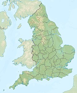
The Whitby Mudstone is a Toarcian (Early Jurassic; Falciferum-Bifrons in regional chronostratigraphy) geological formation in Yorkshire and Worcestershire, England.[1] The formation, part of the Lias Group, is present in the Cleveland and Worcester Basins and the East Midlands Shelf.
Cite error: There are <ref group=note> tags on this page, but the references will not show without a {{reflist|group=note}} template (see the help page).
- ^ Whitby Mudstone at Fossilworks.org

