| Yama Яма | |
|---|---|
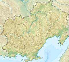
Mouth location in Magadan Oblast, Russia | |
| Location | |
| Country | Russia |
| Federal subject | Magadan Oblast |
| District | Khasynsky District Olsky District |
| Physical characteristics | |
| Source | |
| • location | Maymandzhin Range |
| • coordinates | 60°42′48″N 151°53′56″E / 60.71333°N 151.89889°E |
| • elevation | 750 m (2,460 ft) |
| Mouth | Sea of Okhotsk |
• location | Perevolochny Yama Bay |
• coordinates | 59°36′48″N 154°12′38″E / 59.61333°N 154.21056°E |
• elevation | 0 m (0 ft) |
| Length | 285 km (177 mi) |
| Basin size | 12,500 km2 (4,800 sq mi) |
The Yama (Russian: Яма) is a river in Magadan Oblast, Russian Far East. It is 285 kilometres (177 mi) long, with a drainage basin of 12,500 square kilometres (4,800 sq mi).[1]
The R504 Kolyma Highway passes just west of the sources of the Yama.[2] The name of the river is probably of Koryak origin.[3]
- ^ "Река Яма (в верховье Майманджа) in the State Water Register of Russia". textual.ru (in Russian).
- ^ Floating Tours Down The Rivers of Magadan Region
- ^ Leontyev V.V. , Novikova K.A. Toponymic dictionary of the North-East of the USSR, USSR Academy of Sciences. Magadan, 1989 - p. 445 - ISBN 5-7581-0044-7
