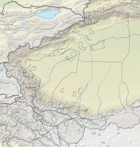
Yazghil Dome South (also known as Disteghil Sar South, Wala Hispar Peak 57),[2] at a height of 7,365 m (24,163 ft) is part of the Karakoram range. It would be one of the highest peaks on Earth if it had more topographic prominence but is within 305 m (1,001 ft) prominence and only about 5 km (3.1 mi) away from the major peak of one of the mountains in the top twenty.[a] This is Disteghil Sar at 7,885 m (25,869 ft) at a distance of 4.39 km (2.73 mi) WNW on the same ridge line.[4][5] South at 11.67 km (7.25 mi) is Kunyang Chhish at 7,852 m (25,761 ft).[4] The two Yazghil Domes, North and South ice-field's feed to the south and east the Yazghil glacier and to their north the Mulungutti glacier.[6] The dome peaks should not be confused with the lower mountain of Yazghil Sar 15 km (9.3 mi) to the northeast.[7]
- ^ a b Cite error: The named reference
peakbaggerwas invoked but never defined (see the help page). - ^ Bergamaschi 1984, p. 301.
- ^ Cite error: The named reference
rankswas invoked but never defined (see the help page). - ^ a b Cite error: The named reference
nearbywas invoked but never defined (see the help page). - ^ Cite error: The named reference
domeswas invoked but never defined (see the help page). - ^ Cite error: The named reference
OSMwas invoked but never defined (see the help page). - ^ Foster et al. 1987, p. 2.
Cite error: There are <ref group=lower-alpha> tags or {{efn}} templates on this page, but the references will not show without a {{reflist|group=lower-alpha}} template or {{notelist}} template (see the help page).


