| Yellowstone Lake | |
|---|---|
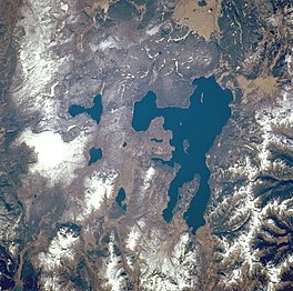
 Yellowstone Lake as seen from space | |
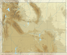
| Location | Yellowstone National Park Teton County, Wyoming, U.S. |
| Coordinates | 44°28′N 110°22′W / 44.467°N 110.367°W |
| Primary inflows | Yellowstone River |
| Primary outflows | Yellowstone River |
| Basin countries | U.S. |
| Max. length | 20 mi (32 km) |
| Max. width | 15 mi (24 km) |
| Surface area | 136 sq mi (350 km2) |
| Average depth | 139 ft (42 m) |
| Max. depth | 394 ft (120 m) |
| Shore length1 | 110 mi (180 km) |
| Surface elevation | 7,732 ft (2,357 m) |
| Islands | 6 |
| 1 Shore length is not a well-defined measure. | |
Yellowstone Lake is the largest body of water in Yellowstone National Park. The lake is 7,732 feet (2,357 m) above sea level and covers 136 square miles (350 km2) with 110 miles (180 km) of shoreline. While the average depth of the lake is 139 ft (42 m), its greatest depth is at least 394 ft (120 m).[1] Yellowstone Lake is the largest freshwater lake above 7,000 ft (2,100 m) in North America.[2]
In winter, ice nearly 3 ft (0.91 m) thick covers much of the lake except where shallow water covers hot springs. The lake freezes over by early December and can remain frozen until late May or early June.
- ^ "Yellowstone Lake". National Park Service. Retrieved 23 April 2021.
- ^ "Yellowstone Lake". National Park Service. Retrieved 23 April 2021.

